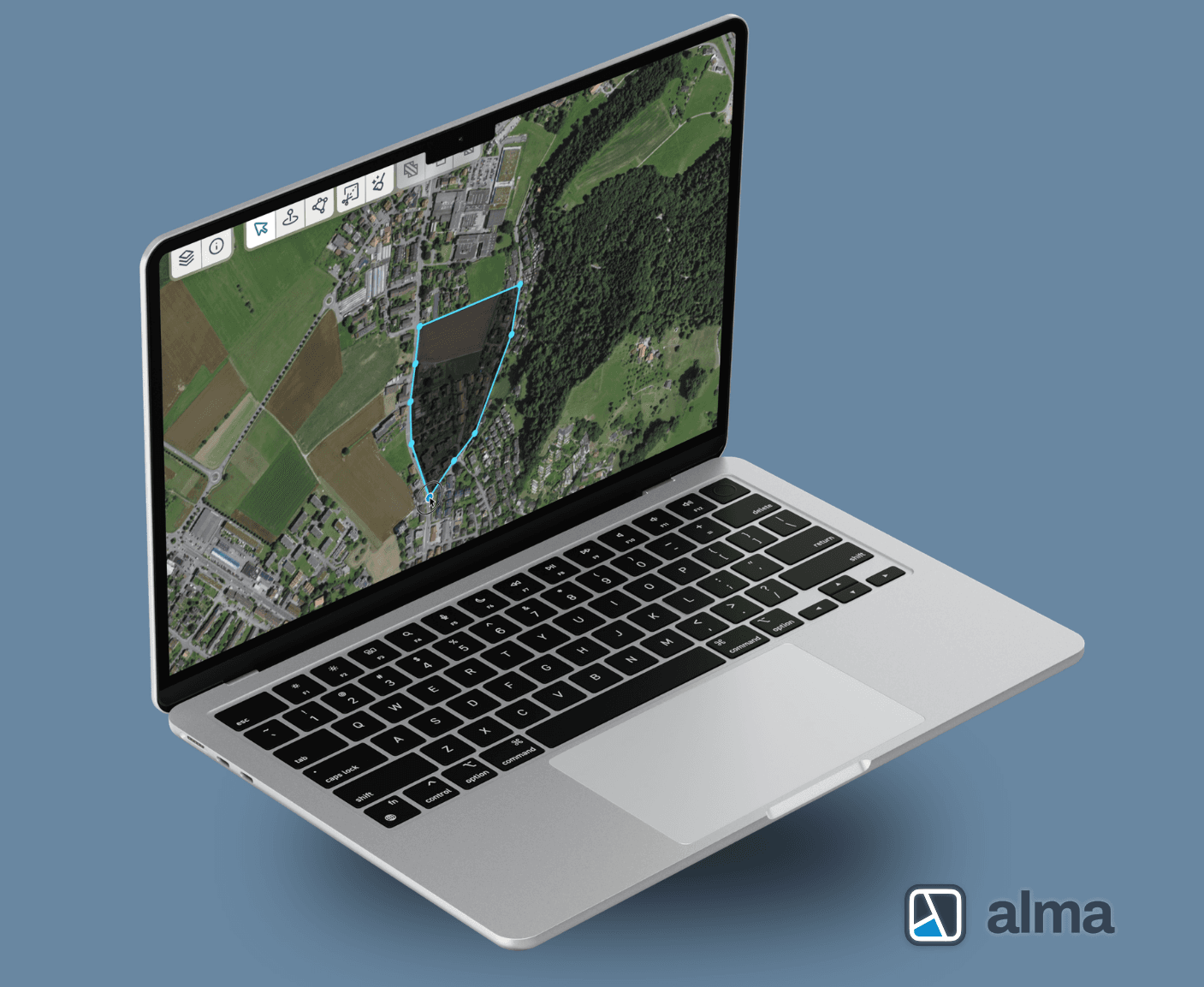
High performance maps with focused content

Applications and data integration for multimodal mobility

Intuitive and effective applications for your business case

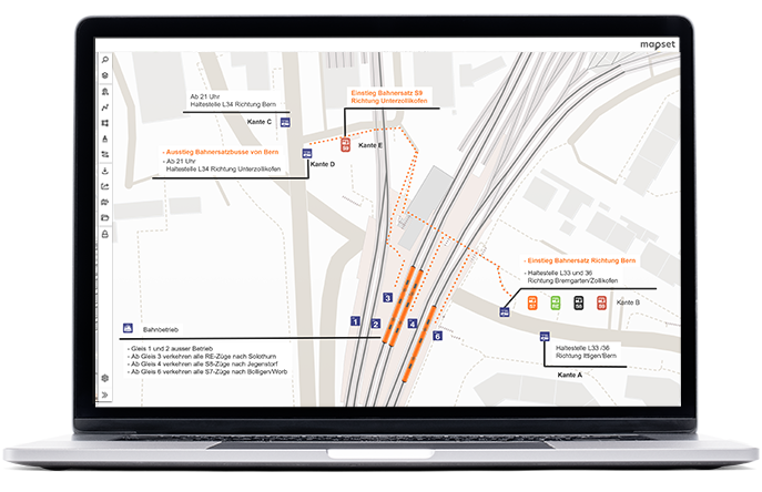
Comprehending, analyzing and presenting data

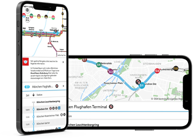
Reliable passenger information for public transport