mobility-toolbox-js v3
All developments at geOps are based on open source software. Besides using existing mapping libraries OpenLayers and MapLibre GL JS, we also create our own software packages, such as mobility-toolbox-js.
mobility-toolbox-js serves as the primary gateway for developing geospatial web applications using our geOps in-house APIs.
This project has existed for years, but version 3 brings massive improvements in terms of development experience, ease of use and integration into existing applications.
The code overhaul for version 3 was done under the motto DO NOT REINVENT THE WHEEL:
- Remove all application specific code that pollutes the codebase and makes the library unmaintainable.
- Remove fancy code that’s architecturally good but nobody understands.
- Remove the unintelligible or cumbersome documentation.
- Remove custom APIs that can be done using OpenLayers, MapLibre GL JS or other open source project like geoblocks/ol-maplibre-layer.
mobility-toolbox-js version 3 has been refactored to be as close to other mapping libraries as possible. This makes development with mobility-toolbox-js feel very familiar for developers who use very popular open source libraries, such as OpenLayers or MapLibre GL JS
The result is a product that simply works, that can be used in every context and for which no extra API knowledge is necessary.
The following example demonstrates the simplicity of adding realtime data using our geOps Realtime API in an existing OpenLayers application:
// Create the Realtime layer
const realtime = new RealtimeLayer({
  apiKey: "yourApiKey"
});

// Add the Realtime layer
map.addLayer(realtime)

// Get information about realtime data on click
map.on('singleclick', (evt) => {
  const [feature] = map.getFeaturesAtPixel(evt.pixel, {
    hitTolerance: 5,
    layerFilter: (layer) => layer === realtime,
  });
});
You can find this example and along with several others on the official website. Also check out the documentation which also received a major shake-up for this new version.
We use mobility-toolbox-js in all our applications. A great example is our mobility-web-component , a web component that encapsulates all the geOps APIs in one HTML element configurable by attributes. You can see it live in action on RVF website:

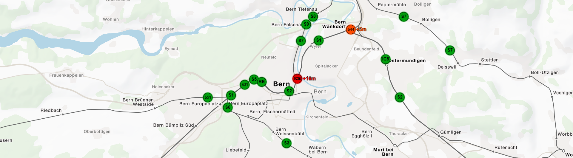
Our famous live map for S-Bahn münchen also uses mobility-toolbox-js:

We hope our efforts are making life easier for spatial web developers and improving the overall quality of spatial web applications.