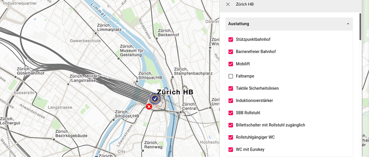
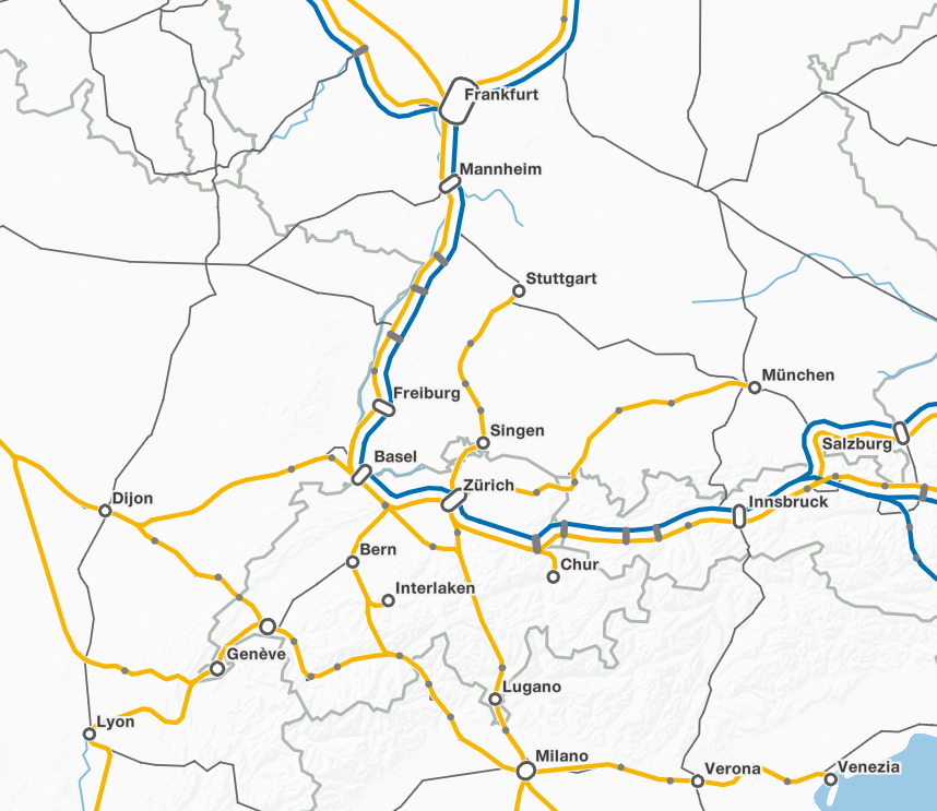
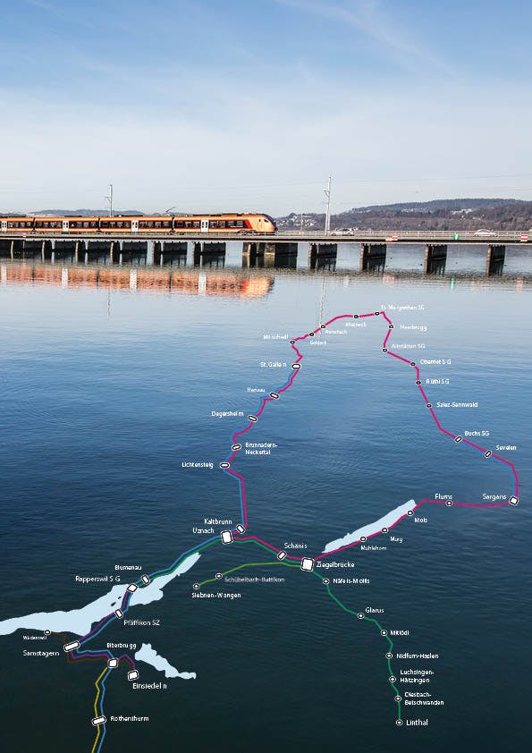
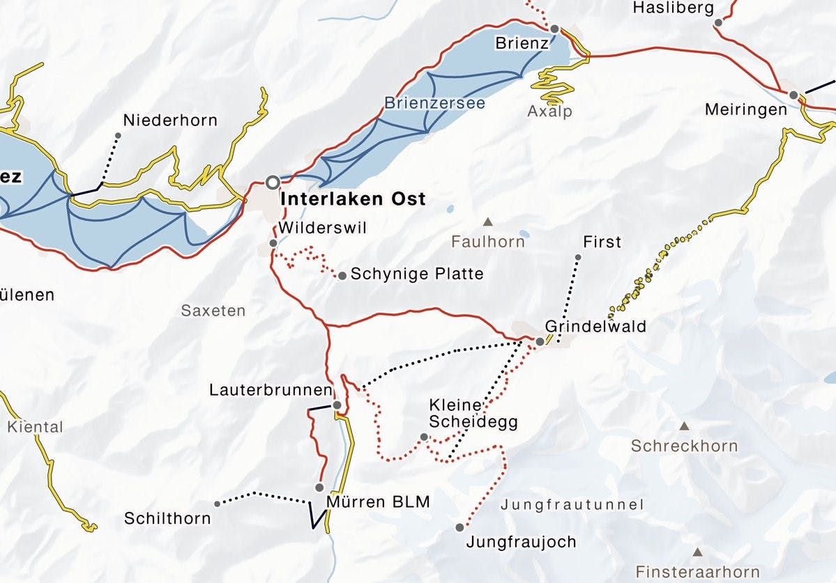
Would you like to provide your customers with information about offers and services on a web map? Then our geographic CMS Cartaro is the perfect tool for you. A convenient form interface enables texts, images and other content to be managed and spatially referenced on a map using GIS tools. Furthermore, existing data sets can be imported and exported for third-party systems. Cartaro is already used by numerous customers for the management of spatial content. The tool is expandable and can be flexibly adapted to your needs.
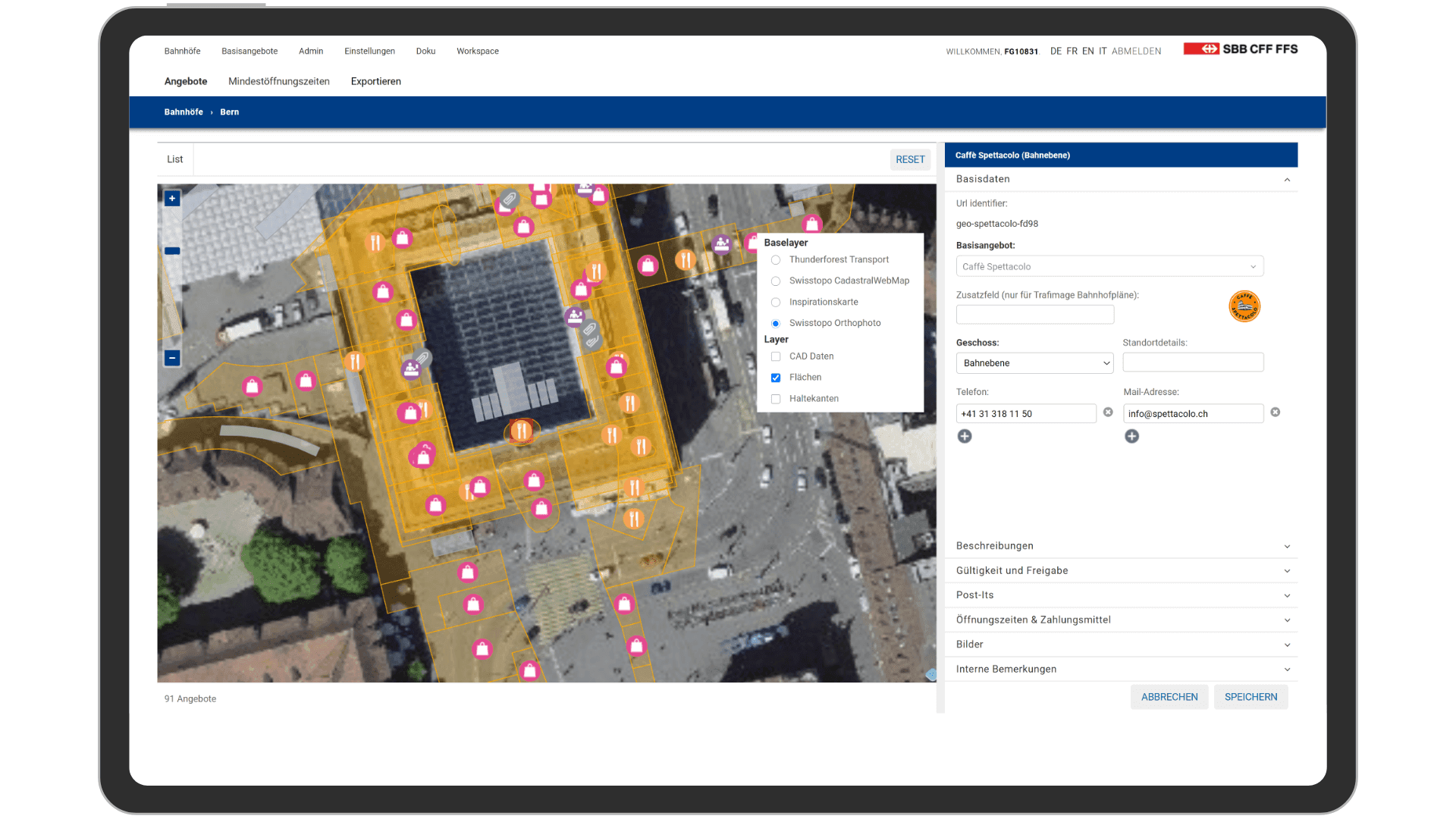
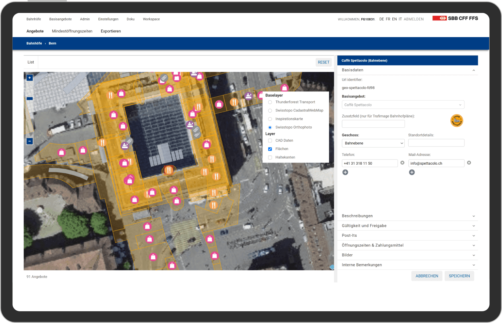
The essential functions at a glance
- Data acquisition: A large number of input fields are available in Cartaro to manage the data. Among other things, they can be used to write texts with a WYSIWYG editor and upload images. A high-performance full-text search is available for searching through the data records. Filters also help to find relevant data records on the map and in list view.
- Location: To geographically reference data, tools for drawing points, lines and areas as well as various GIS tools are available. Existing geodata can also be imported into the system and enriched with additional information. Line-related information, e.g. on rail networks, can be stored on the basis of kilometer information.
- Interfaces: The data managed in Cartaro can be queried via interfaces and thus reused in third-party systems. A Vector Tiles and GeoJSON interface are available for visualizing the data in web maps. In addition, the data can be exported and imported in CSV or EXCEL format.
- Security: Access to Cartaro data and interfaces can be limited to individual users or user groups. The registration takes place via conventional a login interface or by means of the single sign-on procedure.

