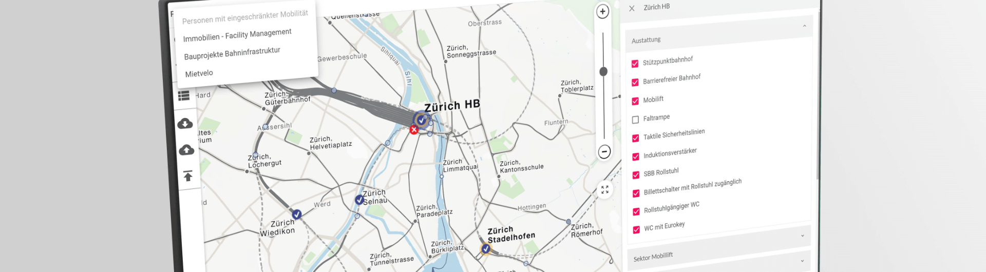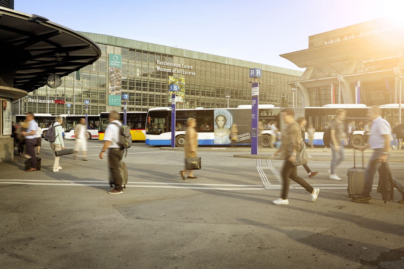
Travel information has many facets. On the one hand there is the personalized information, meaning the connection selected as desired with support for the multimodal travel chain. With our services in the field of routing and maps, we offer precise visualization of the travel routes and options for individual navigation. On the other hand, there are line network plans. They help travelers to get an overview of the public transport offer and to get an idea of possible travel routes regardless of a specific connection.
Overview of the public transport offer
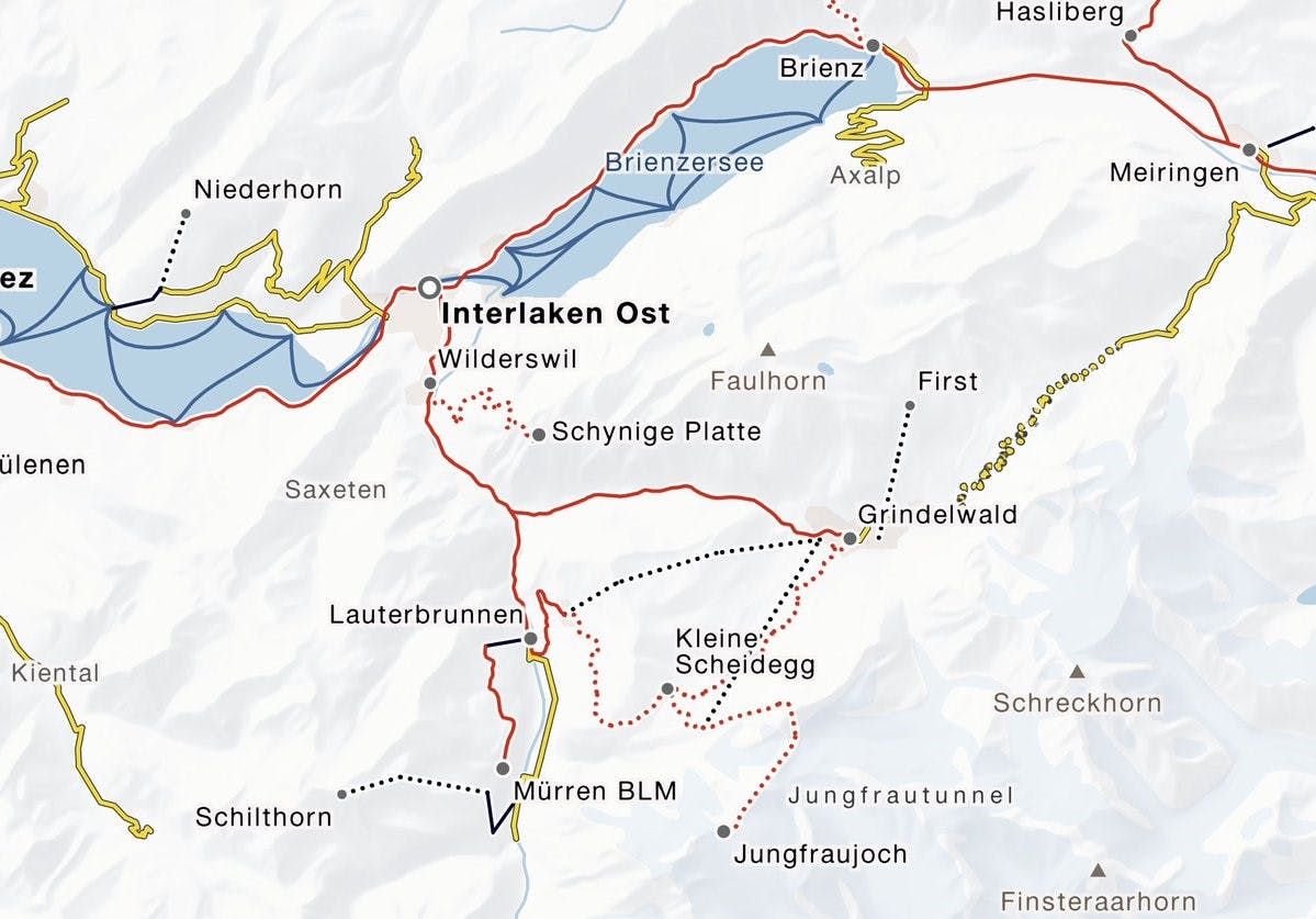
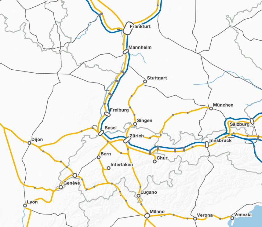
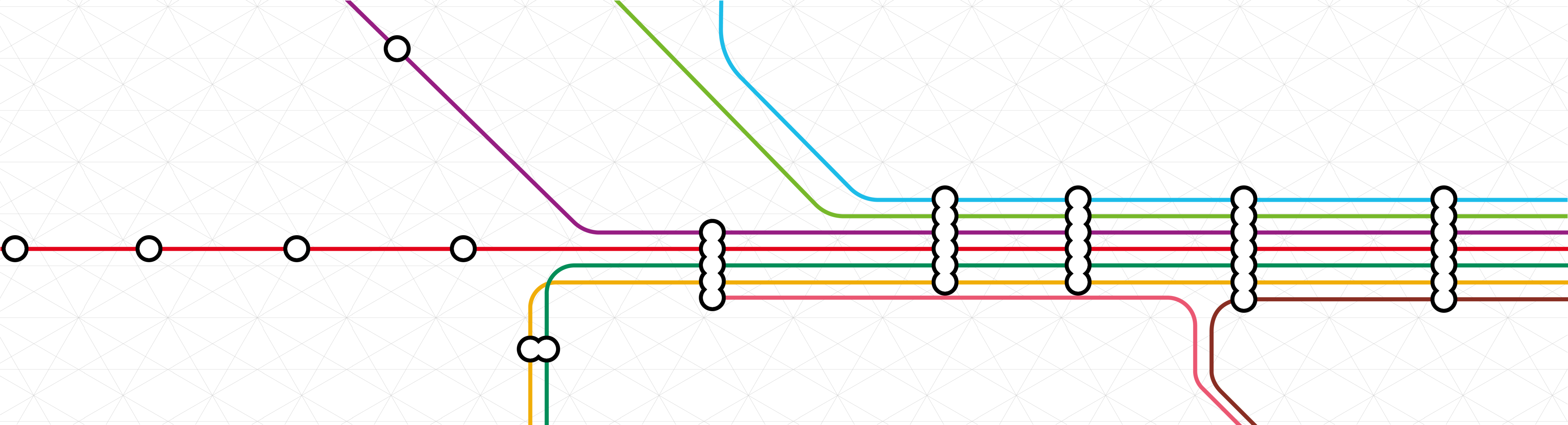
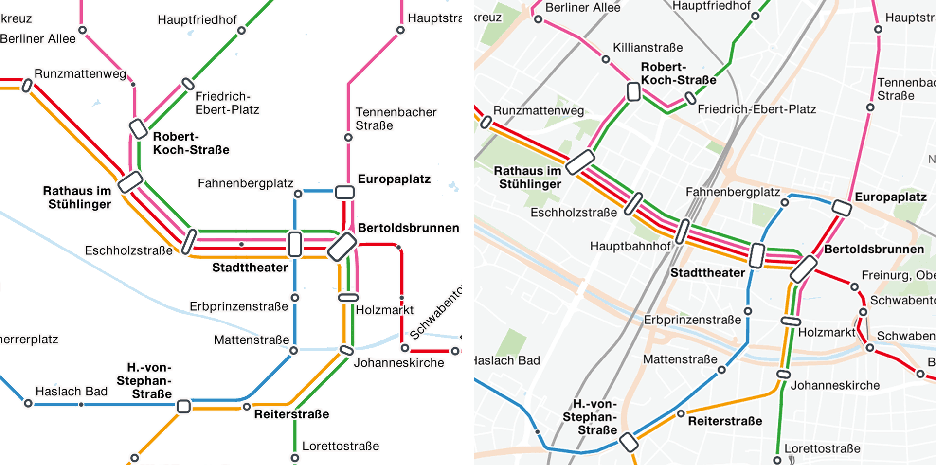
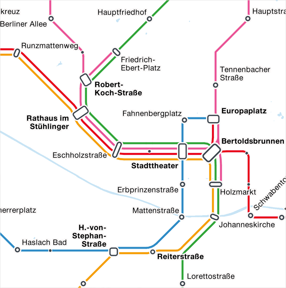
Line network plans refer to different areas from the overall offer. They can be differentiated according to regions, operators, means of transport, day and night networks or other criteria. In the case of topographical network plans, the position of the lines is closely aligned with reality, while schematized plans are more or less abstracted in order to emphasize the connections between the lines and stations more clearly.
Map information dynamically
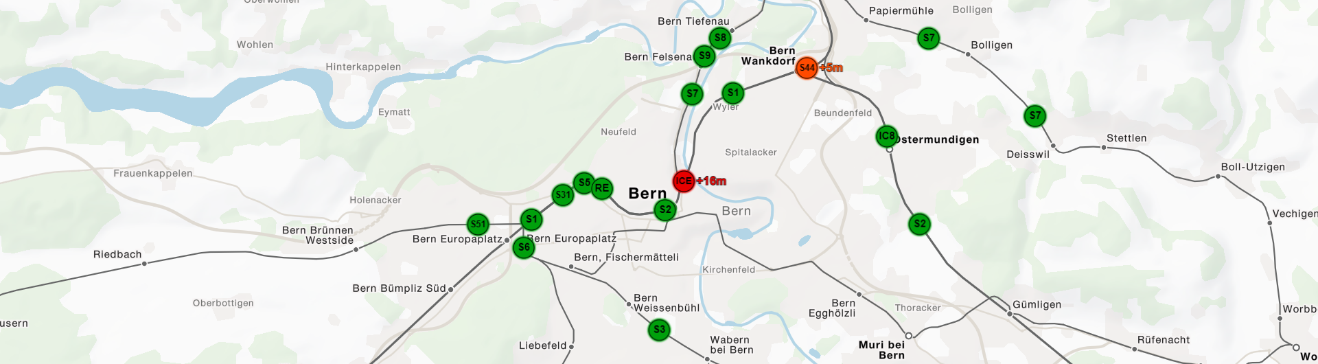
Our network plans are largely calculated automatically. The calculation is usually based on timetable data, which can be filtered according to the criteria listed above. The results are graphic images that classically depict lines in different colors. In addition, a topological network of edges and nodes is created, which has great potential for intelligent, dynamic representations. For example, you can use our network plans as a basis for real-time visualizations such as those we operate for S-Bahn Munich. They can also be used to display disruptions on the route or operating characteristics such as the timing on the lines. Network maps can also be used excellently as navigation elements on websites of line operators to display detailed information about the lines, either timetable queries or descriptions and tourist aspects. The main advantage of automatically generated maps is that they can be updated at short notice and at low cost whenever the underlying data requires it, e.g., due to a change in the timetable. In our Mobility-Portal or at the S-Bahn München you can find some examples of our network plans.