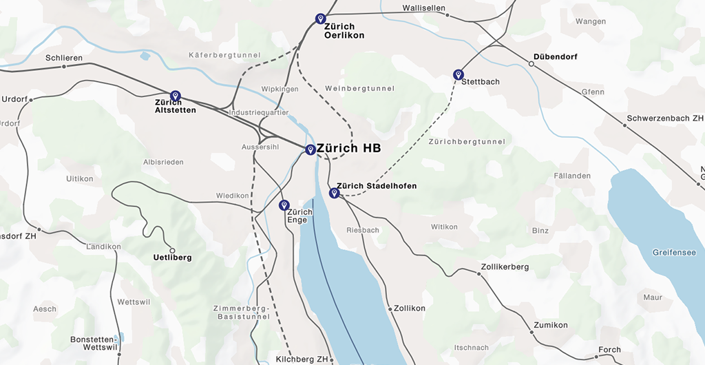
Travel in cartographic time
During the past years swisstopo has digitized all historic maps that had been produced since Guillaume-Henri Dufour founded the Federal Topographical Bureau in 1838. These data have been available for some months already in the Swiss federal geoportal. On the occasion of the anniversary swisstopo presents a specialized viewer that allows overlaying and fading maps from different times and their animated display.
Check it out and experience how the level of detail as well as symbolisation of the maps changed over time. Also note how our landscape changed, be it due to the spread of settlements and roads or due to changes in nature, e.g. glacial retreat.
We want to thank swisstopo for their trust in our work and congratulate them to the anniversary.


