Unknown forests in Google Maps

Viele grössere Waldgebiete werden bei Google Maps als zusammenhängende unstrukturierte Flächen abgebildet. Für den uns naheliegenden Schwarzwald ist das besonders auffällig. Über hunderte Quadradratkilometer scheint es nur Wald und keine offenen Flächen zu geben. Doch dieses Bild trügt. Die zusammenhängende Fläche repräsentiert nicht Wald sondern die Naturparks Nord- und Südschwarzwald. Diese sind bei Google als POIs erfasst und verdecken die eigentliche Waldfläche, ähnlich grün eingefärbt wie der Wald selbst.

Mit den Möglichkeiten der Version 3 von Google Maps API lassen sich nun die POIs ausblenden. Und siehe da, Google bietet einen sehr schönen Detailreichtum in der Darstellung der Waldflächen.

Sehen Sie sich den Effekt in unserem OpenLayers-Test an. Der Layer Google Styled zeigt die detaillierten Waldflächen, während der Layer Google Physical die Standardansicht von Google Maps wiedergibt. Der Quellcode des Tests basiert auf einem Beitrag in der OpenLayers-Liste.
1/13/2011
More on this topic
3 min reading time › | Solution

Software for the environment

Our environmental software focuses on interoperability, durability and user-friendliness.

read more
2 min reading time › | Solution

Transit Network Plans

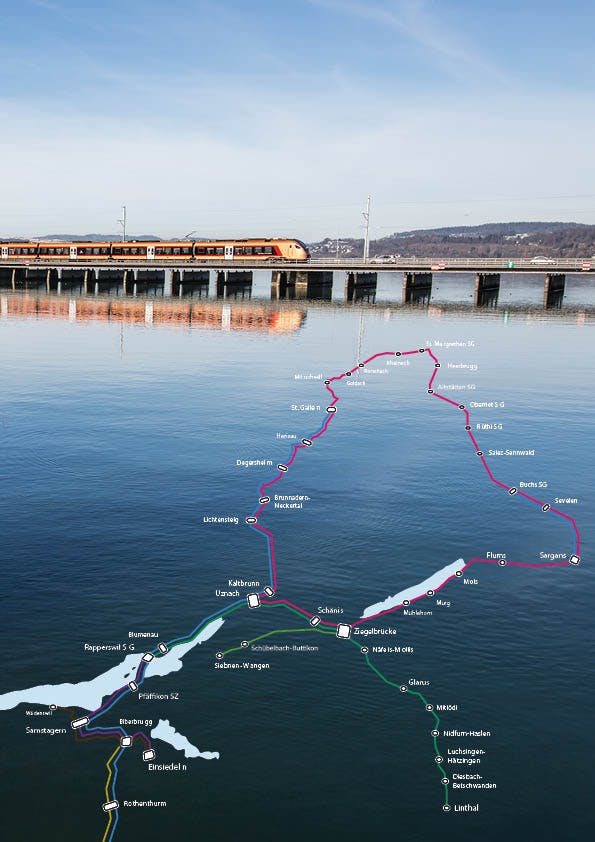
Transit network plans give an easily grasped overview of the public transport offer. Our transit network plans are generated automatically from timetable data or similar source.

read more
2 min reading time › | Blog

Tree-App development 2021

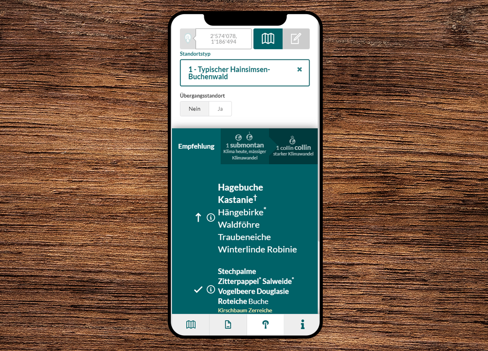
Not only are the trees growing steadily, but our Tree app has also received numerous new functions in the past year. We would like to present a selection here.

read more
8 min reading time › | Blog

Digital maps of travelcard validty

The map of the areas of validity of Generalabo, Half-Fare Card and other Swiss public transport season tickets is now available as a true digital version. The map, which was previously maintained manually and produced as a PDF or printed folding map, has been replaced by an automatically generated, dynamic web map.

read more
3 min reading time › | Blog

Direct Connections Europe - new Line Network Map

A city trip to Venice or an important business meeting in Berlin? That can be reached comfortably and in an environmentally friendly way by train. There are direct day and night connections to European cities from various Swiss stations. Our "Direct connections to Europe" map for SBB illustrates this in a visually appealing way with a route network map.

read more
4 min reading time › | Solution

SBB maps and station plans

Maps and station plans for the entire public transport in Switzerland.

read more

Contact

geOps AG
Solothurnerstrasse 235
CH-4600 Olten

fon: +41 61 588 05 05
mail: info@geops.ch
geOps GmbH
Bismarckallee 10
D-79098 Freiburg im Breisgau

fon: +49 761 458 925 0
mail: info@geops.de
Imprint | Privacy | Terms of service